Tabanan Rice Terrace Heritage Zone: Construction Bans Compensat
The Tabanan Rice Terrace Heritage Zone Construction Crisis: What Halted Projects Mean for Your Build
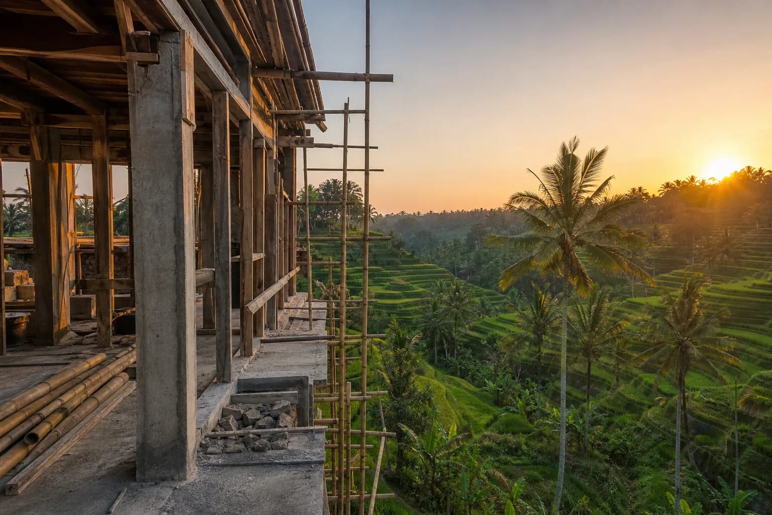
Tabanan’s Kediri area—home to some of Bali’s most iconic rice terraces—has become ground zero for construction enforcement actions in 2026. Multiple villa projects have been halted mid-construction due to river setback violations and permit irregularities, while landowners face the dual challenge of construction bans on productive agricultural land and emerging compensation claims from neighboring farmers. If you’ve purchased land or are considering building in Tabanan’s heritage zones, understanding the specific regulatory framework, the technical definition of “productive land,” and the legal mechanisms behind compensation claims isn’t optional—it’s the difference between a completed villa and a frozen construction site with mounting legal exposure.
Technical Framework: Heritage Zone Regulations and Agricultural Land Classification
Tabanan’s rice terrace heritage zones operate under a layered regulatory system that combines provincial spatial planning (RTRW), district-level agricultural protection ordinances, and UNESCO World Heritage buffer zone guidelines for the Subak irrigation system. The recent construction halts in Kediri specifically cite violations of river setback requirements—typically 100 meters from riverbanks for major waterways and 50 meters for tributaries under Bali Provincial Regulation No. 16/2009—but the underlying issue extends deeper into how land is classified and what triggers enforcement action.
The provincial government’s ban on new permits for hotels, restaurants, and facilities on “productive land” hinges on a technical definition that many foreign buyers and even local brokers misunderstand. Productive agricultural land (lahan pertanian produktif) is legally defined as land that has produced two or more rice harvests in the past three years, regardless of current IMB zoning designations. This creates a critical disconnect: land may be zoned for tourism development in the district spatial plan, may have an IMB (building permit) issued by the local government, yet still fall under the productive land ban if it meets the harvest criteria. The enforcement mechanism relies on village-level agricultural census data (data potensi desa) and farmer testimony, which can be introduced at any point during construction—even after permits are issued.
From a construction engineering perspective, the heritage zone restrictions also impose specific technical requirements that affect foundation design, drainage systems, and site grading. Buildings in Subak buffer zones must maintain existing water flow patterns to irrigation channels, which often requires retention pond systems, permeable paving for more than 40% of site area, and foundation designs that avoid disrupting subsurface water tables. Standard raft foundations or deep pile systems that are routine in other Bali regions may be prohibited if they interfere with traditional irrigation infrastructure. This isn’t just regulatory compliance—it’s fundamental site engineering that must be resolved during the feasibility study phase, not discovered during construction.
The compensation claim mechanism adds another layer of complexity. Under Indonesian agrarian law (UUPA), farmers who can demonstrate economic loss due to construction activities—including disrupted water flow, reduced sunlight to adjacent rice fields, or blocked access to irrigation channels—have legal standing to file claims through the village mediation system (musyawarah desa) or civil courts. These claims can result in construction stop-work orders even when all government permits are in place, because the dispute resolution process takes precedence. Recent cases in Kediri have seen compensation demands ranging from IDR 50 million to IDR 300 million per affected farmer, with some disputes halting construction for 8-14 months while mediation proceeds.
Hidden Risks: What Due Diligence Misses in Heritage Zone Land Purchases
The most dangerous assumption in Tabanan heritage zone purchases is that an existing IMB or tourism zoning designation provides construction certainty. We’ve reviewed land packages in Kediri, Canggu-adjacent Tabanan areas, and near Jatiluwih where sellers present valid building permits, yet the land meets the technical definition of productive agricultural land based on recent harvest history. The IMB may be legally issued under district authority, but provincial enforcement of the productive land ban supersedes it—creating a situation where you have a valid permit you cannot legally execute.
Another critical gap in standard due diligence is the failure to map upstream and downstream water dependencies. Rice terraces operate as interconnected hydraulic systems where construction on one parcel can affect water flow to 5-10 downstream parcels. Legal due diligence typically verifies land ownership and permits, but rarely includes a hydrological survey that identifies which neighboring farmers depend on water flow through your property. This information only surfaces when construction begins and farmers file complaints, by which point you’re facing stop-work orders and compensation negotiations with no prior budget allocation.
The river setback violations in Kediri highlight another due diligence failure: relying on site plans without independent topographic surveys. Many land sellers provide site plans showing building envelopes that appear to comply with setback requirements, but these are often based on estimated river boundaries rather than certified surveys. When enforcement occurs, authorities use GPS-verified measurements from the high-water mark, which can differ significantly from visual estimates, especially during dry season when riverbeds appear narrower. We’ve seen cases where buildings designed to be 60 meters from the river were actually 42 meters based on official measurements, triggering demolition orders for foundation work already completed.
Step-by-Step Process: Navigating Heritage Zone Construction Legally
The first critical step is obtaining a village-level agricultural status certificate (surat keterangan lahan) before any purchase agreement. This document, issued by the village head (perbekel) and verified by the local agricultural extension office, confirms whether the land has produced rice harvests in the past three years and whether it’s subject to Subak water rights. This certificate should be dated within 30 days of your due diligence period and must include signatures from adjacent landowners acknowledging the land’s agricultural status. If the land is confirmed as productive agricultural land, construction is only viable if you can demonstrate the land has been formally released from agricultural designation through a district-level land conversion permit (izin alih fungsi lahan), which is currently not being issued for new applications in most Tabanan heritage zones.
Second, commission an independent hydrological assessment before finalizing purchase. This requires a licensed civil engineer to map all water channels crossing or bordering the property, identify upstream sources and downstream dependencies, and model how proposed construction and site grading will affect water flow patterns. The assessment should produce a water management plan that shows retention systems, drainage routing, and irrigation channel protection measures. This document becomes the basis for community consultation with affected farmers and is required for environmental permit applications (UKL-UPL) in heritage zones.
Third, conduct a certified topographic survey with GPS coordinates for all setback boundaries—rivers, irrigation channels, roads, and adjacent properties. The survey must be performed by a licensed surveyor (surveyor berlisensi) and should include high-water marks for any water bodies, not just current water levels. Cross-reference these measurements against the setback requirements in both provincial regulations and district spatial plans, using the more restrictive standard. If your planned building envelope violates any setback requirement by even 2-3 meters, redesign before permit application—retroactive adjustments after construction begins are rarely approved.
Fourth, initiate community consultation (sosialisasi) before permit application. This is not a legal requirement but a practical necessity in heritage zones. Present your water management plan, building design, and construction timeline to the village assembly (banjar) and specifically to farmers whose land is hydraulically connected to your property. Document all concerns raised and incorporate reasonable accommodations into your design. This process typically requires 2-3 meetings over 4-6 weeks and should result in a signed community acknowledgment letter. While this doesn’t prevent future compensation claims, it demonstrates good faith and provides evidence of proactive risk management if disputes arise.
Fifth, structure your construction contract with explicit provisions for regulatory compliance verification and stop-work contingencies. Your contract should require the builder to re-verify all permits and agricultural status certificates within 7 days of construction start, include a force majeure clause covering government enforcement actions, and establish a dispute resolution fund (typically 5-8% of contract value) that can be accessed for compensation claims without halting construction financing. This contractual structure doesn’t prevent enforcement actions, but it prevents them from immediately triggering contractor payment disputes and project abandonment.
Realistic Cost and Timeline Implications for Heritage Zone Projects
The additional due diligence and engineering requirements for heritage zone construction add IDR 85-150 million to pre-construction costs compared to standard Bali villa projects. This breaks down to approximately IDR 25-35 million for hydrological assessment and water management plan design, IDR 15-25 million for certified topographic surveys with setback verification, IDR 20-30 million for agricultural status certification and land conversion permit applications (if applicable), and IDR 25-60 million for community consultation processes including translation services, legal documentation, and village administration fees.
Construction timelines extend by 3-5 months on average due to additional permit review layers and mandatory environmental assessment periods. A standard villa project in Canggu might achieve permit approval in 8-12 weeks; the same project in a Tabanan heritage zone typically requires 16-24 weeks due to provincial-level review of water management plans and agricultural impact assessments. Construction phase timelines also extend by 15-20% due to restricted working methods—limitations on heavy equipment near irrigation channels, mandatory hand-excavation zones near Subak infrastructure, and seasonal restrictions during planting and harvest periods when water flow disruption must be minimized.
The compensation claim risk budget is the most variable cost factor. Based on recent Kediri cases, budget IDR 50-100 million per adjacent rice farming parcel that shares water infrastructure with your property. A typical heritage zone plot might have 3-6 hydraulically connected neighbors, suggesting a contingency reserve of IDR 150-600 million. These funds may never be claimed if community consultation is effective and construction methods are non-disruptive, but having the reserve prevents project paralysis if claims are filed. Some developers structure this as an escrow account that reverts to the owner 12 months after construction completion if no claims materialize.
Frequently Asked Questions: Tabanan Heritage Zone Construction
Can I build on land with an existing IMB if it’s later classified as productive agricultural land?
Legally, no. The provincial productive land ban supersedes district-level building permits if the land meets the harvest criteria definition. However, enforcement is complaint-driven rather than systematic. If you proceed with construction and no complaints are filed by farmers or village officials, the project may complete without intervention. The risk is that complaints can be filed at any construction phase, resulting in stop-work orders and potential demolition of completed work. The safer approach is to obtain agricultural status certification before purchase and only proceed if the land is confirmed as non-productive or has a valid land conversion permit predating the ban.
What happens to my investment if construction is halted mid-project due to heritage zone violations?
You face three potential outcomes: First, if violations are technical (setback measurements, permit documentation), you may be able to cure them through design modifications, additional permits, or compensation payments, then resume construction after 2-6 months. Second, if violations are substantive (building on productive land without conversion permits), you may be required to demolish completed work and restore the land to agricultural use, with no compensation from the government. Third, in some cases, you can negotiate a settlement where the building is completed but cannot be used for commercial purposes (no rental/hotel operation), limiting it to private residence use. Your construction contract’s force majeure and dispute resolution clauses determine whether you can recover costs from the builder or whether you absorb the full loss.
How do I verify if land is subject to Subak water rights before purchase?
Request a Subak membership certificate (surat keterangan anggota Subak) from the village head, which lists all parcels within the local Subak irrigation system. Cross-reference the land certificate number (SHM or Hak Pakai number) against this list. Additionally, commission a site survey during wet season to visually identify irrigation channels, water gates, and flow patterns—Subak infrastructure is often underground or obscured during dry season. Interview adjacent farmers directly about water sources and dependencies; they can identify connections that don’t appear in official records. Finally, review the district spatial plan (RTRW) for Subak buffer zone designations, which impose restrictions even on land not directly receiving irrigation water.
Are compensation claims to farmers legally enforceable or just customary pressure?
Both. Compensation claims based on documented economic loss (reduced harvest yields, water flow disruption) are legally enforceable through civil courts under tort law principles. However, most claims are resolved through village mediation (musyawarah desa),
 164 m²7 month(s)from 79.000 USD
Private: Haridas Villas, Tegallalang
 3104 m²11 month(s)from 99.000 USD
TALA 100
 3173 m²6 month(s)from 125.000 USD
TALA FOUR
 2144 m²11 month(s)from 104.000 USD
Narayana
 172 m²8 month(s)from 120.000 USD
Keshava

Want to calculate?
 1from 198.000 USD
Private: Haridas Villas
 4344 m²16 month(s)from 290.000 USD
Radha
 3127 m²9 month(s)from 177.000 USD
Mukunda
 3180 m²7 month(s)from 142.000 USD
Vasudeva
164 m²7 month(s)from 79.000 USDTALA TWO
 3124 m²6 month(s)from 123.000 USD
TALA 8
Start With Real Numbers, Not Guesses
Before buying land or finalizing a design, check the realistic build cost range for your project in Bali.
Our team reviews your inputs and gives a grounded estimate.
Available lands
 3700 m²15 min$ 738177Bali, Tabanan
 608 m²15 min$ 310377Bali, Seminyak
 800 m²10 min$ 307882Bali, Tibubeneng
 3000 m²15 min$ 1246921Bali, Tabanan
 204 m²5 min$ 40899Bali, Kedungu
 500 m²15 min$ 124692Bali, Kaba Kaba
 7250 m²56 min$ 235714Bali, Tabanan
 750 m²15 min$ 187038Bali, Kerobokan
 2800 m²2 min$ 713793Bali, Kedungu
 18900 m²2 min$ 6912931Bali, Pecatu
 1000 m²10 min$ 123154Bali, Jimbaran
 1000 m²10 min$ 184729Bali, Kutuh South Bali
 3300 m²15 min$ 449889Bali, Tabanan
 1600 m²32 min$ 266010Bali, Tabanan
 1230 m²15 min$ 132543Bali, Tegallalang
Essential Bali build & buy guides
- Bali villa construction cost per m² in 2026
- How much will your villa cost? Calculator
- Building a villa in Bali: the complete guide
- Buying land in Bali: step-by-step for foreigners
- Bali villa investment: yields, risks, returns
- Leasehold vs freehold: what foreigners can own
- Construction defect liability & 10-year warranty
- Bali building codes and construction standards
Related guides
Visas and Bali Property: What Ownership Does and Does Not Give You
Buying a Bali villa does not grant you residency — a persistent myth that sells property. What the investor KITAS and the second-home visa actually require in 2026, how property fits into each pathway, and how to plan a build alongside a visa strategy.
8 min read
Bali Property Contracts and Indonesian Language Law: Dual-Language Pitfalls That Void Deals
Indonesian law requires property agreements with Indonesian parties to exist in Indonesian — and the two language versions can quietly diverge. What the language law demands in 2026, the real court history, and the dual-language pitfalls that damage Bali deals.
8 min read
Bali Land Certificates Decoded: SHM, HGB, Hak Pakai and Girik Explained for Buyers
A buyer's decoder for Bali land certificates: what SHM, HGB, Hak Pakai and girik actually mean, why girik lost standalone legal force in February 2026, and how to verify a title before you commit.
9 min read