Pererenan Agricultural Land Reclassification in Bali: Legal Timel
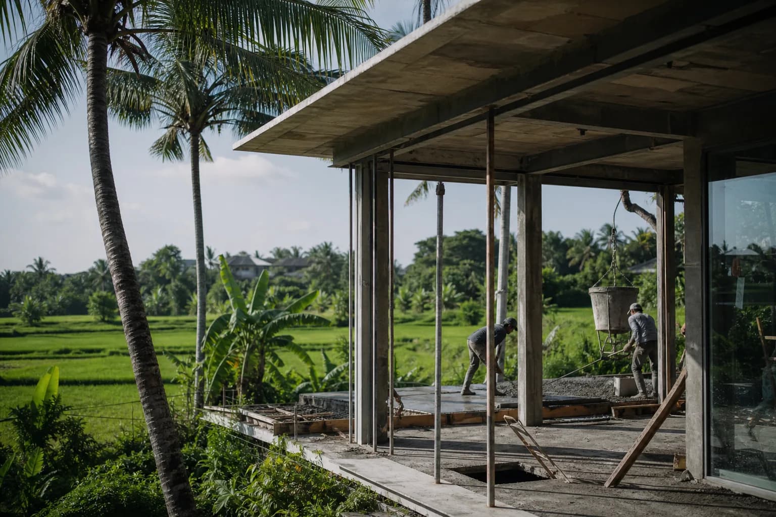
The Pererenan Agricultural Land Reclassification Challenge: Why February 2026 Changes Everything
Pererenan’s agricultural land parcels face a critical legal deadline that directly impacts construction feasibility. With old land documents (Girik and Letter C) expiring February 2, 2026, agricultural plots in this rapidly developing coastal zone require immediate reclassification to support villa construction. The intersection of document expiration, agricultural-to-residential conversion requirements, and Pererenan’s specific zoning regulations creates a complex legal timeline that determines whether your land can legally support structural development. Unlike established residential zones, agricultural land in Pererenan demands dual compliance: first converting expired ownership documents to modern certificates, then navigating the agricultural reclassification process under Bali’s 2026 land conversion controls designed to slow the 1,000-hectare annual loss of farmland to tourism development.
Technical Framework: Pererenan’s Dual-Track Reclassification Process
Pererenan agricultural land reclassification operates through two parallel legal tracks that must be completed sequentially before construction permits become viable. The first track addresses document modernization under Indonesia’s land certificate re-registration mandate, while the second navigates agricultural conversion under Bali’s provincial land use controls.
Document Conversion Track: Girik to Hak Milik Certification
Agricultural parcels in Pererenan historically documented through Girik or Letter C systems require conversion to Hak Milik (freehold ownership) or Hak Pakai (right-to-use) certificates before any reclassification application. The National Land Agency (BPN) process involves systematic verification of historical ownership claims, boundary surveys using GPS coordinates, and cross-referencing with village land records dating back to Dutch colonial administration.
The technical challenge in Pererenan specifically: many agricultural plots lack precise boundary documentation due to traditional measurement systems using natural landmarks (coconut trees, irrigation channels) that have shifted over decades. Modern surveying frequently reveals 3-8% discrepancies between claimed boundaries and actual GPS measurements, requiring neighbor consensus protocols before BPN will issue certificates. This boundary reconciliation adds 4-7 months to standard conversion timelines in areas with disputed edges.
Agricultural Reclassification Track: Land Use Conversion Mechanics
Once modern certificates exist, agricultural land in Pererenan enters the provincial reclassification system governed by Bali Governor Regulation on Agricultural Land Protection. The process requires demonstrating that proposed residential/commercial use aligns with Badung Regency’s spatial planning documents (RTRW), which designate specific zones for development versus agricultural preservation.
Pererenan’s coastal proximity creates additional technical requirements: parcels within 100 meters of high-tide lines face coastal protection restrictions, while those within irrigation network zones (subak system) require environmental impact assessments proving that conversion won’t disrupt traditional water distribution. The engineering documentation must include hydrological studies showing post-development drainage patterns, soil stability reports for foundation planning, and infrastructure access plans demonstrating connection to public roads without crossing protected agricultural corridors.
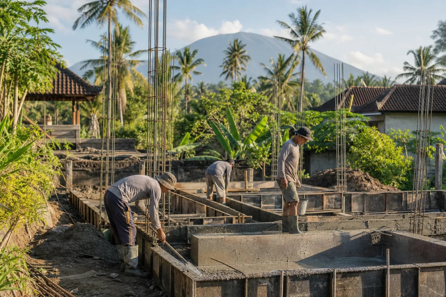
The structural engineering implications are significant. Agricultural soil in Pererenan typically contains high organic content (12-18%) from decades of rice cultivation, requiring soil stabilization or replacement before foundation work. Geotechnical surveys reveal bearing capacities of 0.8-1.2 kg/cm² in untreated agricultural soil versus 2.5-3.5 kg/cm² required for two-story villa construction. This necessitates either deep foundation systems (bore piles to 6-8 meters) or complete soil exchange in the building footprint—costs that must be factored into construction feasibility before purchasing agricultural land.
Pererenan-Specific Zoning Complications
Badung Regency’s 2024-2044 spatial plan designates portions of Pererenan as “agricultural buffer zones” intended to prevent complete urbanization of the coastal corridor. Parcels within these buffer zones face stricter conversion criteria: maximum 40% building coverage ratio, mandatory green space retention of 35%, and height restrictions of 12 meters (versus 15 meters in established residential zones). These limitations directly impact villa design feasibility and construction economics, particularly for multi-unit development concepts that rely on density to achieve project viability.
Hidden Risks: What Agricultural Land Buyers Miss in Pererenan
The most critical oversight in Pererenan agricultural land purchases: assuming reclassification approval is automatic once documents are modernized. Badung Regency’s land conversion approval rate for agricultural parcels dropped to 62% in 2025, with rejections concentrated in areas where cumulative conversions exceed spatial planning targets. Pererenan’s rapid development means certain sub-villages (banjar) have already reached or exceeded their allocated conversion quotas, making new applications face extended review periods or outright denials regardless of document quality.
Buyers frequently underestimate the subak system’s legal authority. Traditional irrigation cooperatives hold veto power over conversions affecting water distribution networks. In Pererenan’s Subak Cemagi and Subak Tegal Gundul areas, agricultural land within 50 meters of primary irrigation channels requires formal subak approval before provincial reclassification proceeds. This community consultation process adds 6-12 months and may require financial contributions to irrigation infrastructure upgrades—costs ranging from IDR 50-150 million depending on parcel size and water system impact.
The February 2026 document expiration creates a hidden timeline trap: parcels with unconverted Girik/Letter C documents that miss the deadline revert to state control, requiring a completely different legal process (land redistribution application) that can extend timelines by 2-3 years. Sellers often fail to disclose document status, leaving buyers to discover expiration issues only after purchase agreements are signed. Due diligence must include verification of current certificate type and expiration status through direct BPN records checks, not relying on seller-provided copies.
Step-by-Step Process: Pererenan Agricultural Land to Construction-Ready Status
Phase 1: Document Verification and Conversion (Months 1-8)
Begin with comprehensive title verification at Badung Regency BPN office, requesting official certificate status reports (not seller copies). For Girik/Letter C documents, immediately initiate conversion applications with complete ownership chain documentation back to original land grants. Engage licensed land surveyors (surveyor berlisensi) to conduct GPS boundary mapping and prepare technical site plans meeting BPN specifications.
Simultaneously, obtain village-level land status letters (surat keterangan tanah) from the local banjar confirming no ownership disputes and current land use classification. In Pererenan, this requires meetings with both banjar officials and subak representatives if irrigation systems cross or border the parcel. Document all boundary agreements with adjacent landowners through notarized statements to prevent future disputes that could invalidate certificates.
Phase 2: Spatial Planning Compliance Review (Months 3-5)
While document conversion proceeds, commission spatial planning analysis from licensed urban planners (perencana tata ruang) to determine if your specific parcel falls within convertible zones under Badung’s RTRW. This technical review examines overlay restrictions including coastal setbacks, environmental protection zones, cultural heritage buffers, and agricultural preservation areas. The analysis should produce a formal compliance report that becomes part of your reclassification application.
For parcels within 500 meters of the coast, obtain coastal zone management clearance (izin pengelolaan wilayah pesisir) from the Marine and Fisheries Agency. This requires topographic surveys showing elevation relative to sea level and flood risk assessments—critical for construction planning in Pererenan’s low-lying areas where seasonal flooding affects foundation design.
Phase 3: Reclassification Application Submission (Months 8-10)
With modern certificates issued and spatial compliance confirmed, submit formal agricultural land conversion applications to Badung Regency Land Affairs Office. Required documentation includes: certified land certificates, spatial compliance reports, environmental impact assessments (for parcels over 5,000 m²), subak approval letters (if applicable), infrastructure access plans, and proposed land use plans with building coverage calculations.
The application triggers multi-agency technical review involving Land Affairs, Environmental Agency, Public Works (for infrastructure), and Tourism Department (for tourism zone compliance). Each agency has 30-day review periods, though in practice Pererenan applications average 4-6 months for complete inter-agency coordination. Engage a land consultant (konsultan pertanahan) familiar with Badung Regency procedures to manage agency communications and respond to technical queries.
Phase 4: Construction Permit Preparation (Months 14-16)
Upon receiving reclassification approval (izin perubahan penggunaan tanah), immediately commission geotechnical surveys to assess soil conditions for foundation engineering. Agricultural soil remediation requirements must be determined before architectural design finalization. Engage structural engineers to develop foundation systems appropriate for post-agricultural soil conditions—this often means bore pile foundations in Pererenan’s high-water-table areas.
Submit building permit applications (IMB) with complete architectural and structural engineering plans that demonstrate compliance with reclassified land use restrictions. Pererenan’s coastal location requires additional wind load calculations and corrosion-resistant material specifications in structural plans. The permit review process adds 3-4 months before construction can legally commence.
Realistic Cost and Timeline Ranges for Pererenan Reclassification
Document Conversion Costs
Girik/Letter C to Hak Milik conversion: IDR 15-25 million for parcels under 2,000 m², including BPN fees, surveyor costs, and notary expenses. Parcels with boundary disputes add IDR 8-15 million for mediation and legal documentation. Rush processing (if available before February 2026 deadline) adds 40-60% premium to standard fees.
Reclassification Application Costs
Agricultural to residential conversion for typical villa parcels (1,000-2,000 m²): IDR 35-65 million including spatial planning reports, environmental assessments, agency processing fees, and consultant coordination. Subak approval processes (where required) add IDR 50-150 million depending on irrigation system impact and required infrastructure contributions.
Technical Survey and Engineering Costs
Geotechnical surveys for post-agricultural soil assessment: IDR 12-18 million. Soil remediation or foundation upgrades for agricultural land: IDR 450-850 per m² of building footprint, adding IDR 90-170 million to typical 200 m² villa construction budgets. These costs are specific to Pererenan’s soil conditions and must be included in total project feasibility calculations.
Total Timeline Expectations
Complete process from agricultural land purchase to construction permit issuance: 16-24 months for straightforward cases, 24-36 months for parcels requiring subak coordination or facing spatial planning complications. The February 2026 document deadline means purchases made after mid-2025 face compressed timelines that may require expedited processing or acceptance of extended delays.
Frequently Asked Questions: Pererenan Agricultural Land Reclassification
Can foreigners purchase agricultural land in Pererenan for reclassification and villa construction?
Foreigners cannot directly own agricultural land under Indonesian law. The standard approach involves purchasing through Indonesian nominees (with associated legal risks) or waiting until after reclassification to acquire through leasehold structures (Hak Pakai) on already-converted residential land. Some buyers establish Indonesian PT PMA companies to hold Hak Guna Bangunan rights on reclassified land, but this requires minimum investment thresholds and business operational requirements. From a construction feasibility perspective, purchasing pre-verified, already-reclassified land eliminates 18-30 months of legal uncertainty and reduces total project risk significantly.
What happens if my Pererenan agricultural land reclassification is denied?
Denial typically results from spatial planning conflicts (parcel in protected agricultural zone), subak objections, or exceeding area conversion quotas. You retain ownership of agricultural land but cannot obtain building permits for residential/commercial structures. Options include: appealing the decision with additional technical documentation (6-12 month process), selling to agricultural users, or holding for future spatial plan revisions (next RTRW update in 2044). The construction implication: denied reclassification means zero return on land investment from a villa development perspective, making pre-purchase spatial planning verification critical.
How does the February 2026 document deadline specifically affect Pererenan agricultural land purchases?
Parcels still documented under Girik/Letter C systems that aren’t converted by February 2, 2026 lose legal ownership recognition, reverting to state control. In Pererenan, approximately 30-40% of agricultural parcels still operate under old documentation systems. Post-deadline, reclaiming ownership requires land redistribution applications through a completely different legal framework that can take 3-5 years. For construction planning, this means any agricultural land purchase in Pererenan must include immediate verification of certificate type and conversion status—if documents aren’t already converted or in active conversion process, the time
 1from 198.000 USD
Private: Haridas Villas
 164 m²7 month(s)from 79.000 USD
TALA TWO
164 m²7 month(s)from 79.000 USDPrivate: Haridas Villas, Tegallalang
 4344 m²16 month(s)from 290.000 USD
Radha
 3104 m²11 month(s)from 99.000 USD
TALA 100
 2144 m²11 month(s)from 104.000 USD
Narayana
 3180 m²7 month(s)from 142.000 USD
Vasudeva
 3173 m²6 month(s)from 125.000 USD
TALA FOUR
 3124 m²6 month(s)from 123.000 USD
TALA 8
 3127 m²9 month(s)from 177.000 USD
Mukunda

Want to calculate?
 172 m²8 month(s)from 120.000 USD
Keshava
Start With Real Numbers, Not Guesses
Before buying land or finalizing a design, check the realistic build cost range for your project in Bali.
Our team reviews your inputs and gives a grounded estimate.
Available lands
 1000 m²10 min$ 303571Bali, Tabanan
 2130 m²10 min$ 495776Bali, Pecatu
 1410 m²15 min$ 390702Bali, Tabanan
 750 m²15 min$ 187038Bali, Kerobokan
 700 m²15 min$ 109052Bali, Buduk
 3700 m²15 min$ 738177Bali, Tabanan
 889 m²15 min$ 145612Bali, Cepaka
 1200 m²2 min$ 155172Bali, Klungkung
 5028 m²10 min$ 361000Bali, Ubud
 3000 m²15 min$ 738916Bali, Cepaka
 1100 m²8 min$ 280419Bali, Ungasan
 1700 m²10 min$ 392549Bali, Nusadua
 600 m²10 min$ 206897Bali, Canggu
 500 m²2 min$ 175862Bali, Cemagi
 2230 m²15 min$ 410573Bali, Padonan
Essential Bali build & buy guides
- Bali villa construction cost per m² in 2026
- How much will your villa cost? Calculator
- Building a villa in Bali: the complete guide
- Buying land in Bali: step-by-step for foreigners
- Bali villa investment: yields, risks, returns
- Leasehold vs freehold: what foreigners can own
- Construction defect liability & 10-year warranty
- Bali building codes and construction standards
Related guides
Visas and Bali Property: What Ownership Does and Does Not Give You
Buying a Bali villa does not grant you residency — a persistent myth that sells property. What the investor KITAS and the second-home visa actually require in 2026, how property fits into each pathway, and how to plan a build alongside a visa strategy.
8 min read
Bali Property Contracts and Indonesian Language Law: Dual-Language Pitfalls That Void Deals
Indonesian law requires property agreements with Indonesian parties to exist in Indonesian — and the two language versions can quietly diverge. What the language law demands in 2026, the real court history, and the dual-language pitfalls that damage Bali deals.
8 min read
Bali Land Certificates Decoded: SHM, HGB, Hak Pakai and Girik Explained for Buyers
A buyer's decoder for Bali land certificates: what SHM, HGB, Hak Pakai and girik actually mean, why girik lost standalone legal force in February 2026, and how to verify a title before you commit.
9 min read